Since 1994, I have been working on maps and plans for a variety of archaeological projects. The majority of work was done in Macromedia FreeHand, Adobe Illustrator and AutoCAD were used to a lesser extent.
The list of my current and former employers include the University of Tübingen (Germany), Princeton University and the American Schools of Oriental Research (ASOR), as well as private scholars.
A detailed view of the maps and plans shown here is available in JPG or PDF format. While the JPG gives an overview and explanation, the PDF will render more detail and can be zoomed in, but might also be bigger in file size.
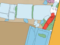
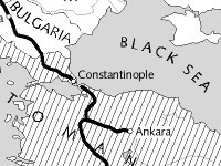
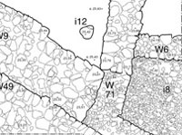
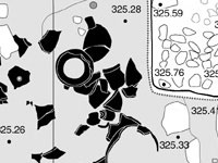
Samples of maps and plans: